CSI Mapping
CSI Mapping
  • Home
  • Forensic Mapping
  • Aerial Mapping
    • Microdrones
    • Pilot Training
  • Mapping Equipment
    • Total Stations
    • GPS
    • GPS Network
    • Laser Scanning
    • Data Collectors
  • Software
    • Forensic CAD
    • Animation
    • PointCloud
    • Evidence Recorder
    • Magnet Field
  • Live Chat
  • Documents & Files
  • Calendar
  • Keson
  • About Us
  • More
    • Home
    • Forensic Mapping
    • Aerial Mapping
      • Microdrones
      • Pilot Training
    • Mapping Equipment
      • Total Stations
      • GPS
      • GPS Network
      • Laser Scanning
      • Data Collectors
    • Software
      • Forensic CAD
      • Animation
      • PointCloud
      • Evidence Recorder
      • Magnet Field
    • Live Chat
    • Documents & Files
    • Calendar
    • Keson
    • About Us
  • Sign In

  • My Account
  • Signed in as:

  • filler@godaddy.com


  • My Account
  • Sign out


Signed in as:

filler@godaddy.com

  • Home
  • Forensic Mapping
  • Aerial Mapping
    • Microdrones
    • Pilot Training
  • Mapping Equipment
    • Total Stations
    • GPS
    • GPS Network
    • Laser Scanning
    • Data Collectors
  • Software
    • Forensic CAD
    • Animation
    • PointCloud
    • Evidence Recorder
    • Magnet Field
  • Live Chat
  • Documents & Files
  • Calendar
  • Keson
  • About Us

Account


  • My Account
  • Sign out


  • Sign In
  • My Account

Partnered with

Sokkia GPS

Sokkia GCX3 GNSS Receiver used in Forensic Mapping for Accident Reconstruction,

GCX3 GNSS Receiver

Pint-sized powerhouse


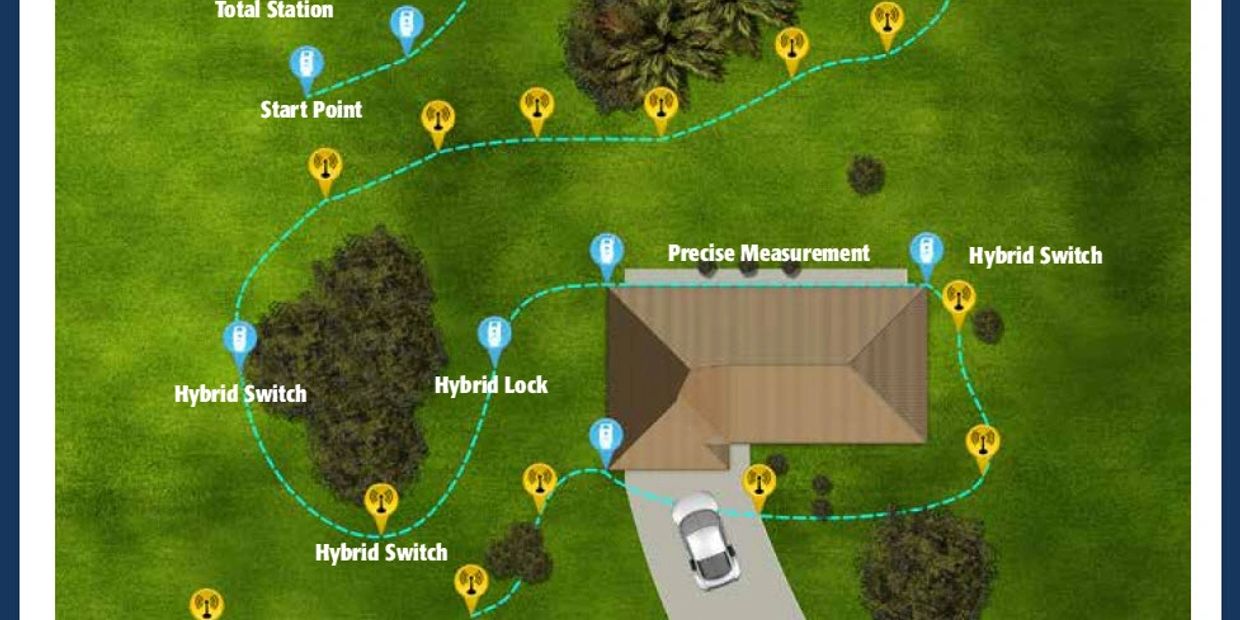
The GCX3 is the ideal local scene base/rover RTK (Real Time Kinematic) system or Network RTK rover. And like all of our products, you can customize it to meet your needs and create your own workflows.

  • All-in-view constellation GNSS receiver
  • 226 optimized satellite tracking channels
  • Second generation POST2™ (Precision Orbital Satellite Technology) integrated antenna – robust signal tracking even around interference sources.
  • Compact, lightweight, rugged and cable-free design
  • Ideal network RTK rover
  • Wireless, multi-channel Long-Range Bluetooth® technology
  • BeiDou and Galileo tracking for longer range base to rover coms
  • Never seen performance in tree canopy situations

Features

Number of Channels 226 channels 

Tracked Signals GPS L1 C/A, L1C, L2P, L2C
GLONASS L1 C/A, L1P, L2 C/A, L2P
BeiDou B1, B2
Galileo E1
SBAS L1 C/A WAAS/MSAS/EGNOS/GAGAN
QZSS L1 C/A, L1C, L2C 

Static/Fast Static H: 10mm + 0.8 ppm, V: 15 mm + 1.0 ppm 

Memory Internal non-removable memory up to 8 GB 

Bluetooth® Modem v2.1 + EDR 

Dust/Water Protection IP67 

Dimensions (w x h x l) 47 x 197 x 47 mm (1.9” x 7.3” x 1.9”) 

Battery Type Internal non-removable 

Operating Time All day operation in any configuration (up to 10 hours) 

External Power Connector Service port (shared with USB 2.0 communication)

Brochure

Sokkia GCX3 (pdf)

Download

GCX Series Video


Sokkia iX Hybrid Video

Combine Robotic and GNSS for a 'never down' solution

CSI Mapping
Sokkia
Hybrid
Forensic mapping Training
Accident Reconstruction
GPS
GNSS

Hybrid Explained

Forensic Mapping
CSI Mapping
Accident Reconstruction
Laser Scanning
GLS 2000

Laser Scanning

Tablets and Handhelds

Tablets and Handhelds

Forensic Mapping
Accident Reconstruction
CSI Mapping
SHC5000
Evidence Recorder

Tablets and Handhelds

Tablets and Handhelds

Tablets and Handhelds

Forensic Mapping
Accident Reconstruction
Sokkia
iX Series
Robotic total station
CSI Mapping

Total Stations

Tablets and Handhelds

Total Stations

back

Let's find a solution! 1-80-810-9178

Copyright © 2024 CSI Mapping  - All Rights Reserved.

  • Home
  • Microdrones
  • Total Stations
  • Forensic CAD
  • Live Chat
  • Documents & Files
  • Calendar
  • About Us

Cookie Policy

This website uses cookies. By continuing to use this site, you accept our use of cookies.

DeclineAccept & Close